

Canada is big! It’s almost 10 million square kilometres! So what better way to see it than to go coast-to-coast, in six weeks… with a 2 and a 4 year old… pulling a tent trailer … with a Toyota Camry.
This was either going to be the best road trip ever… or the worst!
Planning the trip
The idea to cross the country first took root more than a year before the trip. We were living in Yellowknife, NWT, and were planning on moving to Ottawa to be closer to family. We wanted to leave in early summer, to take advantage of the nice weather and figured we’d be able to camp most of the way or stay with friends in a variety of cities along the way.
We bought a used pop-up tent trailer for about $3,000 and spent the summer before leaving testing it out and making sure I was able to back it up onto a tent site (a skill MS is convinced I’ve still not quite mastered six years later!).
We knew the Camry’s V6 was going to be able to pull the trailer, albeit at top speeds of 90km/h (even though the manual suggests no more than 72km/h).

The next part was figuring out our route. If we were leaving the North, we wanted to do a last hurrah, and what better way than to take a (slight) detour west into the Yukon and Alaska, and then take the ferry south from Skagway and into the Inside Passage. We booked the ferry a few months before leaving and organized a “welcome south” party with family at Grundy Lake Provincial Park near Sudbury for the September long-weekend. Our departure and arrival dates were set.

We have friends on Vancouver Island, Calgary, Saskatoon and Winnipeg, so we knew we’d have a few places along the way. We plotted those on a map as longer stopping points (up to five days in certain cities) and then basically drew a line from each, calculating driving about 400 km a day. Most places we’d stop for one or two nights and keep moving.
Forest fire vs deserted dirt road
As we prepared to leave, we were forced into an unappealing version of the game “which would you choose”: drive a secluded 986 km road, with a 250 km dirt section with one gas station that connects the NWT to British Columbia or the longer, more populated 1,600 km drive that dips into Alberta before joining the Alaska Highway, which would also take us through forest fires!

The mere thought of being stranded on a fairly unused road with two kids and millions of mosquitoes and horseflies was something we didn’t want to experience, so we chose the forest fire route. The fires were only a few kilometres from the road, which had already experienced some closures. At one point, we were escorted in a caravan procession by a police car through thick smoke. You see flames along the side of the road and feel the heat in the area.
The daily drive schedule

We broke down our driving based on the kids napping schedule: one hour nap in the morning and maybe two hours in the afternoon if we were lucky. For most of the trip, we would leave our campsite by 10 am, drive about two-hours before lunch. A one to two-hour lunch break would be followed by another two hours of driving in the afternoon.

We tried to find interesting places for lunch: playground, park, roadside picnic area with a view, or a hiking spot were our favourites. We were grateful for the wonderful outdoor pools we found in various little towns across the country. If we saw something interesting coming up, like a short waterfall hike, scenic lookout or anything else, we would stop. The goal was to be at our next campsite by 5pm each day, giving us 7 hours to drive 400 km, but throwing in flexibility as much as possible.
What we saw

This drive was amazing. Driving the Alaska Highway was a wildlife bonanza: mountain goats, bears, deer, moose, beavers and eagles. And the mountains!! Just that drive alone would have been a trip onto itself. And for us, that was only our first 10 days of our trip!

Next up, was a ferry ride from Skagway, Alaska, to Port Hardy, British Columbia, with stops in Juneau, Sitka and Ketchikan and Prince Rupert. We didn’t see much marine life except a few whales in the distance, but did see some grizzly bears, including one right in our campsite in Sitka.
A drive down the coast of Vancouver Island brought us to beautiful Victoria. This city has to be one of the prettiest in Canada! The drive from Victoria to the Rockies saw us go through the fertile lands of the Okanagan Valley, with peaches and cherries to sample along the way. The lakes are fabulous in this area.

Next up, the Rockies. Well, they speak for themselves: majestic peaks, winding roads, meandering rivers and towering waterfalls. A stop in Calgary then onto Drumheller to check out dinosaurs at the Royal Tyrrell Museum was a must!

The prairies may be long and flat, but there’s something about driving along those long straight roads past wheat and canola fields that is just mesmerizing. And it’s true what they say about the prairie skies: they are magnificent at dusk. We spent five days exploring Saskatoon, often a forgotten city in Canada. There’s lots to do there, even a day trip paddling the Saskatchewan River! Winnipeg offered a short stopover, but there’s lots to do in this growing and vibrant city.

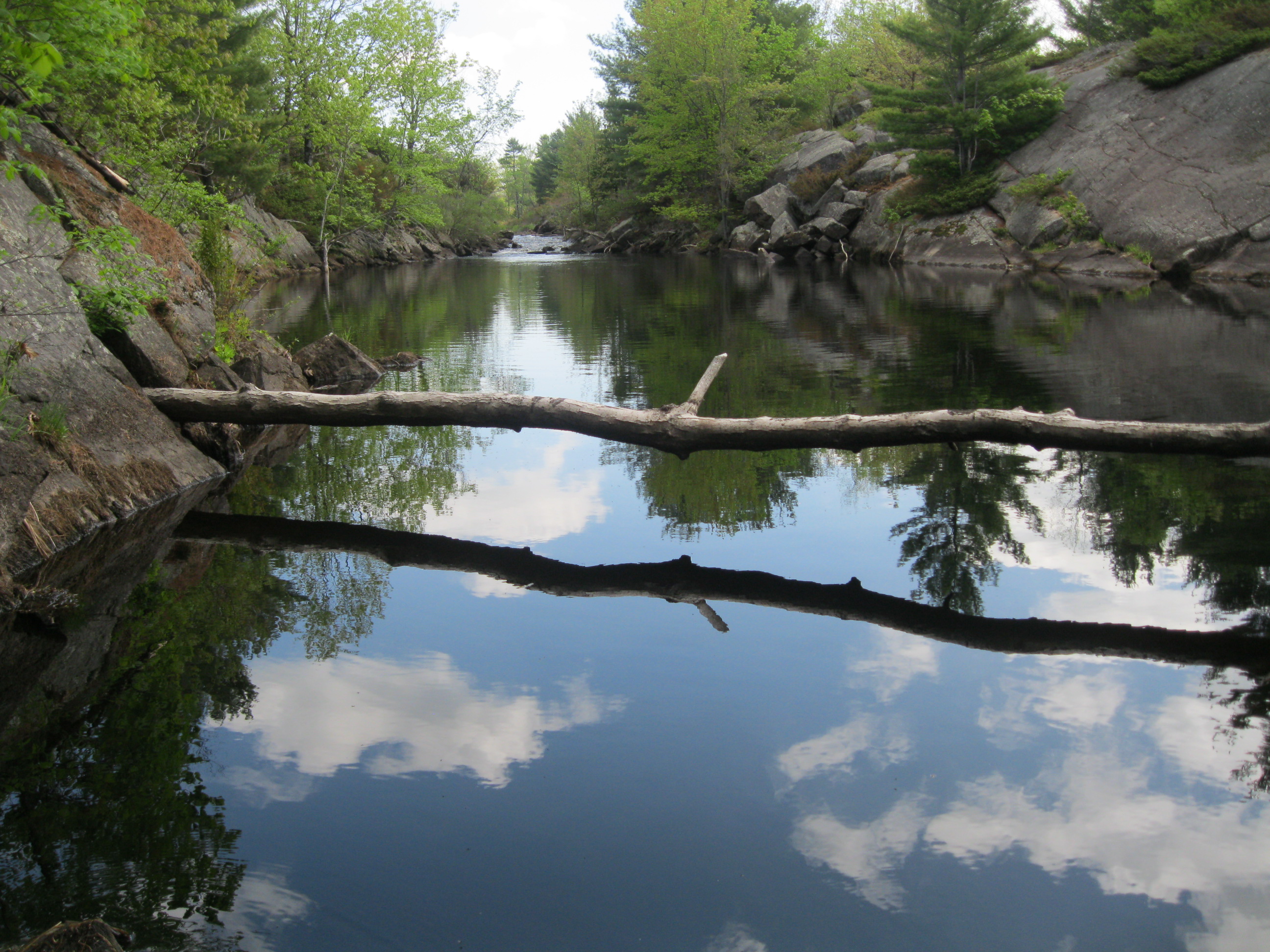
What we anticipated to be the worst part of the trip was next, the dreaded never-ending drive through Northern Ontario. At our rate, it was going to take five days to get from the Winnipeg to Sudbury, a distance of 1,700 km! Turns out this was probably one of the best portions of the drive. I’d done this drive twice before, but just trying to get through it as fast as possible. By doing it slowly, we were able to enjoy the beauty of this remote and relatively undeveloped part of Canada. It’s the Canadian Shield at its best. Lakes, forests, hills all conspire to showcase Canada’s wilderness in all its wonder.
What we learned?
So much! We learned that Canada is an amazing place (although we were already biased to this!). Each province has its own charms and uniqueness, and in fact, most have more than one. We learned that our kids are amazing travelers and that they can adapt to almost anything. We learned that we are able to push ourselves to try crazy adventures. We learned that a Toyota Camry can’t go much faster than 60km/h up the Rockies when pulling a 3,000 lb trailer. We learned that we love exploring together as a family, and will continue to do so. More importantly, we learned that the destination isn’t the goal, the journey itself is the reward.


